
Carl Berners Plass Station
Line T3 · Kolsås Line / Østensjø Line
T1, T5lines
Interchangerole
1966opened
50.3 mabove sea level
Carl Berners Square — Overview
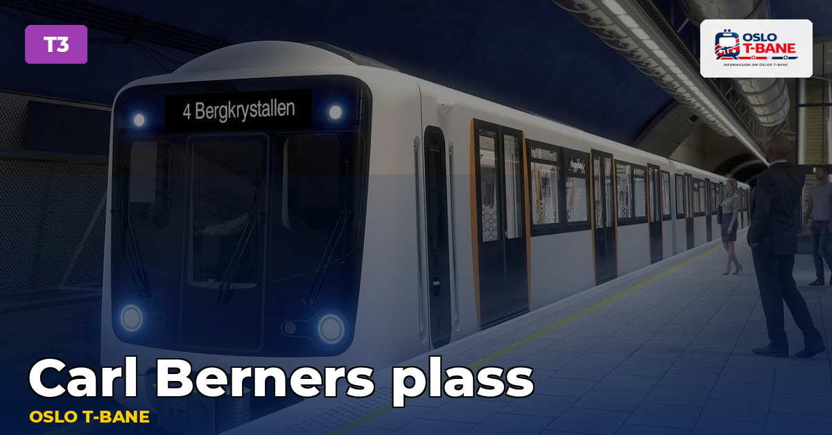
Carl Berners plass is a subway station on Line 3. It is a transit hub in the eastern part of downtown with a tram and bus terminal.
Nearby Attractions and Places
Carl Berners Square
1-minute walk
Large square with a tram and bus terminal.
Tøyen Park
10-minute walk
Large park with walking trails and playgrounds.
Surface Connections
Bus and tram links here change with Ruter’s timetable — the route planner shows today’s.
Facilities at the station
| Detail | Value |
|---|---|
| Opened | 1966 |
| Architect | Peer Qvam |
| Elevation | 50.3 m |
| Distance from Stortinget | 3.3 km |
| Lines calling here | Line 1, Line 5 |
Source: no.wikipedia
♿ Lift here? Ruter publishes no per-station data — why.
Station history
Carl Berners plass is an underground rapid transit station located on the Grorud Line of the Oslo Metro, and a tram stop on the Sinsen Line of the Oslo Tramway.
Source: Wikipedia
Other stations on Line 3
Frequently Asked Questions
Carl Berners Plass is served by Line T3 on the subway. See “Lines” for a complete route description.
Carl Berners plass is served by Line 1, Line 5.
Roughly 05:30 to 01:15, later on Friday and Saturday nights. Exact departures from Carl Berners plass are on the timetable page.
Carl Berners plass opened in 1966. The station was designed by Peer Qvam.
The station sits at 50.3 m. The T-bane spans from sea level in the centre up to 469 m at Frognerseteren, which makes the western branches genuinely alpine in winter.
Measured along the track, Carl Berners plass is 3.3 km from Stortinget — the zero point the T-bane is measured from.